3D Scanning Perth | Engineering-Grade LiDAR Services
3D Scanning Perth: Engineering-Grade LiDAR for Mining, Industrial and Fabrication Projects
Accurate existing-condition information is essential when planning modifications to operating plants, mining facilities, structural steel, pipework or industrial equipment.
Traditional site measurements can be slow and may not capture every obstruction, connection point or interface. This creates uncertainty during design and increases the risk of fabrication errors, clashes and expensive site rework.
Hamilton By Design provides 3D scanning Perth services for engineering, mining, manufacturing, materials-handling and infrastructure projects throughout Perth and Western Australia.
Our services connect site capture with practical engineering outcomes. Rather than delivering only a visual point cloud, we can process captured information into structured point clouds, engineering models, layouts and fabrication-ready documentation.

Learn more about our national capability through our engineering-grade 3D laser scanning services across Australia.
What Is Engineering-Grade 3D Scanning?
Engineering-grade 3D scanning uses terrestrial LiDAR equipment to capture millions of measurable points from an existing site, structure or piece of equipment.
These measurements form a three-dimensional point cloud representing the visible surfaces within the scanned area.
The point cloud can capture:
Structural steel
Mechanical equipment
Conveyors and transfer chutes
Pipework and ductwork
Platforms, stairs and access structures
Tanks and vessels
Plant rooms and industrial buildings
Fabrication interfaces
Connection points
Existing obstructions
Floor levels and equipment positions
The resulting dataset provides designers, engineers and fabricators with a measurable record of the existing installation.
Why Use 3D Scanning for Perth Engineering Projects?
Perth supports a wide range of mining, minerals-processing, fabrication, manufacturing and infrastructure activities. Many projects involve existing facilities where original drawings may be incomplete, outdated or unavailable.
A 3D scan provides a more comprehensive record of the visible site conditions than a limited series of manual measurements.
This can be particularly valuable when a project involves:
Brownfield plant modifications
Replacement equipment
Conveyor upgrades
Chute redesign
Structural-steel additions
Pipework rerouting
Access-platform modifications
Shutdown work
Equipment relocation
Skid or module installation
Reverse engineering
As-built documentation
By capturing the surrounding plant, the design team can evaluate the new installation in the context of the existing environment.
Reducing Fabrication and Installation Risk
One of the main benefits of 3D scanning in Perth is the opportunity to identify potential problems before fabrication begins.
Incorrect or incomplete measurements can result in:
Steelwork that does not fit
Incorrect hole or connection locations
Pipework misalignment
Clashes with existing equipment
Insufficient installation clearances
Unplanned site modifications
Delays during shutdowns
Additional crane, labour and access costs
A registered point cloud allows important dimensions and interfaces to be checked during the design stage.
New equipment, steelwork, ducting or pipework can be modelled against the scanned environment to improve confidence that the proposed design will fit within the available space.

3D Scanning for Perth Mining and Mineral-Processing Facilities
Mining and mineral-processing facilities often contain dense combinations of conveyors, structures, walkways, chutes, pipework and operating equipment.
These environments can be difficult to measure manually, particularly when access is limited or when measurements must be completed within a short shutdown window.
Engineering-grade laser scanning can support projects involving:
Crushing and screening plants
Conveyor transfer stations
Ore-processing equipment
Chutes and hoppers
Pumping systems
Structural platforms
Maintenance-access improvements
Tanks and vessels
Pipe racks
Dust-extraction systems
Plant expansion projects
The point cloud can provide engineering teams with a coordinated reference for planning modifications around the existing installation.
Brownfield Plant Modifications
Brownfield engineering projects involve installing or modifying equipment within an existing operational facility.
Unlike greenfield projects, the designer must work around structures and equipment that are already in place. Even relatively small dimensional errors can affect fabrication, transport, lifting or installation.
A typical brownfield scanning workflow may include:
Reviewing the required design area and project objectives.
Planning scanner positions and access requirements.
Capturing the existing plant and surrounding interfaces.
Registering individual scans into a coordinated point cloud.
Cleaning and organising the captured data.
Importing the point cloud into suitable engineering software.
Developing the required CAD model or drawings.
Checking the proposed design against the existing environment.
Issuing the required engineering or fabrication deliverables.
This approach creates a clearer connection between site conditions and the final design.
Scan-to-CAD Services for Perth Projects
The value of a scan increases when the captured information is converted into practical engineering deliverables.
Depending on the project scope, Hamilton By Design can use point-cloud information to develop:
SolidWorks models
Inventor models
AutoCAD drawings
General-arrangement drawings
Existing-condition layouts
Structural-steel models
Mechanical-equipment models
Pipework and ductwork layouts
Fabrication details
Sections and elevations
STEP or SAT geometry
Design-clearance assessments
Clash-detection models
The level of modelling detail can be adjusted to suit the purpose of the project. A concept study may only require simplified geometry, while fabrication work may require more detailed modelling of critical interfaces and connection locations.
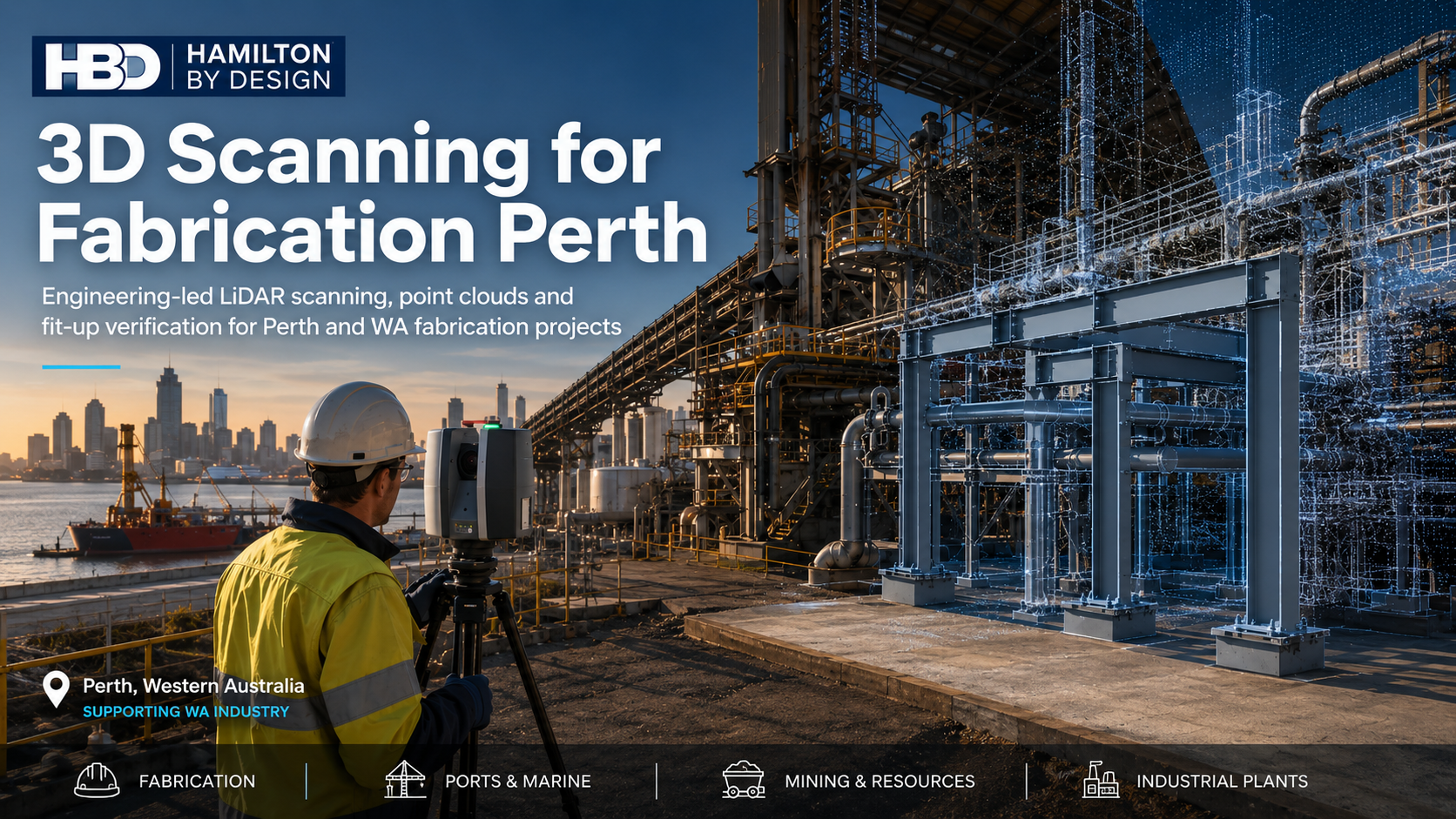
3D Scanning for Fabrication Projects
Fabricators often depend on measurements supplied by other parties. Where those measurements are incomplete or incorrect, the fabricator may carry significant risk.
Scanning the installation area can provide a more complete reference for designing:
Replacement guards
Access platforms
Stairs and handrails
Conveyor components
Transfer chutes
Machine frames
Equipment supports
Pipe supports
Structural modifications
Maintenance structures
The proposed fabrication can be positioned within the scanned environment before workshop drawings are completed.
This helps the project team review fit, access and installation requirements before materials are ordered or steel is cut.
Supporting Shutdown Planning
Shutdown projects often operate within strict timeframes. Missing dimensions or unexpected clashes can quickly affect the shutdown schedule.
Completing the scanning and modelling before the shutdown can help teams:
Confirm existing geometry
Review removal requirements
Plan lifting and installation activities
Check access clearances
Identify nearby obstructions
Prepare replacement components
Develop drawings before mobilisation
Reduce the need for field modifications
The objective is not simply to create a point cloud. It is to provide useful geometric information that supports better project planning and decision-making.
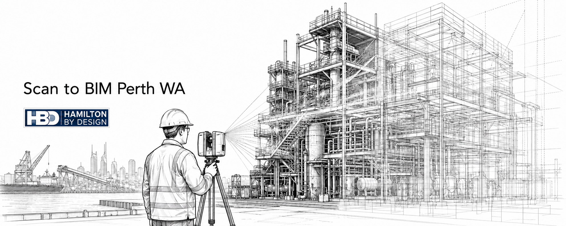
Typical 3D Scanning Deliverables
Deliverables are selected according to the project requirements and may include:
Registered point clouds
Cleaned point-cloud datasets
E57 files
RCP or RCS files
LAS files
3D CAD models
STEP or SAT files
DWG or DXF drawings
General-arrangement drawings
Sections and elevations
Fabrication drawings
Existing-condition models
Clash-review information
Image-based scan views
Before scanning begins, it is important to confirm how the information will be used. This allows the capture and processing workflow to be planned around the required outcome.
Why Choose Hamilton By Design?
Hamilton By Design provides an engineering-led approach to 3D laser scanning.
Our focus is on using captured site information to support mechanical design, structural detailing, reverse engineering, brownfield modifications, fabrication and project planning.
Key benefits include:
Engineering-focused site capture
Experience with mining and industrial environments
Point-cloud processing and registration
Integration with SolidWorks, Inventor and AutoCAD workflows
Scan-to-CAD and as-built modelling
Support for fabrication and mechanical-design projects
Capability to service metropolitan, regional and remote projects
Deliverables selected around the intended engineering outcome
The aim is to turn captured site geometry into a practical project resource rather than leaving the client with an unmanaged point cloud.
3D Scanning Across Perth and Western Australia
Hamilton By Design can support projects throughout Perth and across regional Western Australia.
Potential service areas include:
Perth CBD
Kwinana
Henderson
Welshpool
Canning Vale
Malaga
Osborne Park
Rockingham
Fremantle
Joondalup
Regional mining and industrial locations
Project planning can include mobilisation, site access, inductions, scanning, point-cloud registration, modelling and drawing production.
Frequently Asked Questions
What can be captured during a 3D scan?
A scanner can capture visible surfaces such as structural steel, equipment, conveyors, chutes, pipework, platforms, walls, floors and surrounding obstructions. Areas hidden behind solid objects may require additional scanner positions or separate access.
Can you convert the Perth point cloud into a SolidWorks model?
Yes. Depending on the required scope, point-cloud information can be used to develop simplified or detailed SolidWorks models for mechanical design, equipment modifications, fabrication or installation planning.
Can 3D scanning be used for structural steel?
Yes. Laser scanning can capture existing columns, beams, bracing, platforms, stairs, handrails and connection areas. The information can then support structural modelling, drafting and modification planning.
Is 3D scanning suitable for operating industrial plants?
Yes. Scanning is particularly useful in operating and brownfield facilities because substantial geometric information can be captured without physically contacting every measured surface. Site safety, access and operational requirements must still be planned before scanning begins.
Can scanning reduce fabrication rework?
Scanning cannot remove every project risk, but it can significantly improve the amount of existing-condition information available to designers and fabricators. This helps identify dimensional issues and potential clashes before fabrication.
What files can be supplied?
Available formats may include E57, RCP, RCS, LAS, DWG, DXF, STEP, SAT and native CAD files. The required format should be confirmed before the project starts.
Do you provide scanning outside metropolitan Perth?
Yes. Hamilton By Design supports metropolitan, regional and remote engineering projects. Mobilisation requirements can be reviewed as part of the quotation.
How do I obtain a quotation?
Provide the site location, approximate scanning area, project objective, required deliverables, available drawings and preferred schedule. Photographs or marked-up plans can also help define the required scope.
Discuss Your Perth 3D Scanning Project
Accurate existing-condition data can reduce uncertainty when designing modifications for mining plants, industrial facilities, fabrication projects and brownfield installations.
Hamilton By Design provides engineering-led scanning, point-cloud processing and scan-to-CAD services to help project teams move from site capture to usable engineering information.
For more information about our capability, visit:
Engineering-Grade 3D Laser Scanning Across Australia – Hamilton By Design
Contact Hamilton By Design to discuss your 3D scanning Perth project, required deliverables, site access and proposed schedule.

